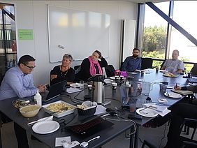
The change in scenery could not have been more dramatic. Back in March the partners had met in Arctic Oulu, which was still being held at the grasps of Winter. That was quite appropriate though, as the same week saw also the conference about Oil spills in the Arctic areas and the oil spill response exercise, which was played out in the waters by Oulu. In middle of August the partners basked in the Icelandic sun, but luckily the hosts had booked a meeting room, which was located int he basement of a hotel in the Vestmanna Islands with no windows to the outside world. Otherwise the partners' might have lost their focus, which would not have been good for the project. On the second meeting day there was a bit of rain, so the partners did not get too glossy picture of the Icelandic Summer weather...
The progress of the work packages was discussed during the meeting, including the setting up of the expert pool,which had gotten a kick start during the conference and oil spill exercise in Oulu. The work done in connection to the oil vulnerability index of seabirds of the NPA region was on the agenda as well the research into the oil spill drift models and oil database reports.
The number one issue on the programme agenda was naturally the smart map. A lot of progress had been done with the map and it was decided that it was time to raise the map on the table. Potential venues were discussed, which could be used as a platform to promote the map and to reach out to stakeholders, who would have interest in the map. Arctic Frontiers was deemed as the strongest candidate for this kind of venue, and it was agreed that steps would be taken to find out whether APP4SEA would be able to secure a side event slot in connection to the conference. This gave the partners still time to work with the project activities and to add more updates to the map before heading to Norway in January 2019.


